Презентація на тему:
National parks of the United Kingdom
Завантажити презентацію
National parks of the United Kingdom
Завантажити презентаціюПрезентація по слайдам:
A National Park is 'national' because of the special value the area has for the whole nation. This value derives from their outstanding beauty, the recreation opportunities provided, and the special interaction between humans and nature that they represent. Nosova Natalya
1951 - Peak District, Lake District, Snowdonia and Dartmoor 1952 - Pembrokeshire Coast and North York Moors 1954 - Yorkshire Dales and Exmoor 1956 - Northumberland 1957 - Brecon Beacons 1989 - The Broads given equivalent status to a National Park 2002 - Loch Lomond & The Trossachs 2003 - Cairngorms 2005 - New Forest 2010 - South Downs Nosova Natalya
Year of Designation: 1951 Rights of Way: 3,510 km Area: 1,438.3 sq km Main Settlements: Bakewell; Hathersage; Castleton; Tideswell Nosova Natalya
Year of Designation: 1951 Rights of Way: 1,815km Area: 2,243 sq km Main Settlements: Windermere; Ambleside; Keswick Nosova Natalya
Year of Designation: 1951 Rights of Way: 2,800 km Area: 2,141 sq km Population: 26,250 Main Settlements: Dolgellau; Bala; Harlech Nosova Natalya
Year of Designation: 1951 Rights of Way: 500 km Area: 954.3 sq km Population: 31,000 Main Settlements: Ashburton; Buckfastleigh; Moretonhampstead Nosova Natalya
Year of Designation: 1952 Rights of Way: 1,090 km Area: 584 sq km Population: 23,000 Main Settlements: Newport; St David's; Tenby; Saundersfoot Nosova Natalya
Year of Designation: 1952 Rights of Way: 2,300 km Area: 1,436 sq km Population: 25,000 Main Settlements: Helmsley; Thornton Dale; Robin Hood's Bay
Year of Designation: 1954 Rights of Way: 2,099 km Area: 1,769 sq km Population: 19,858 Main Settlements: Sedbergh; Grassington; Hawes Nosova Natalya
Year of Designation: 1954 Rights of Way: 1,131 km Area: 693 sq km Population: 10,494 Main Settlements: Lynton; Dulverton; Porlock; Dunster Nosova Natalya
Year of Designation: 1952 Rights of Way: 2,300 km Area: 1,436 sq km Population: 25,000 Main Settlements: Helmsley; Thornton Dale; Robin Hood's Bay Nosova Natalya
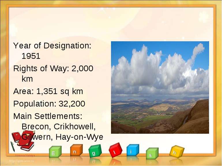
Year of Designation: 1951 Rights of Way: 2,000 km Area: 1,351 sq km Population: 32,200 Main Settlements: Brecon, Crikhowell, Gilwern, Hay-on-Wye Nosova Natalya
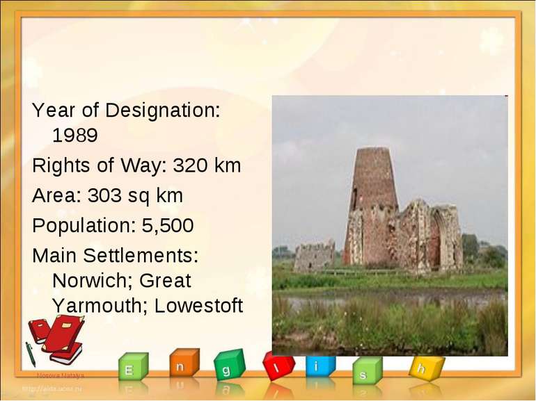
Year of Designation: 1989 Rights of Way: 320 km Area: 303 sq km Population: 5,500 Main Settlements: Norwich; Great Yarmouth; Lowestoft Nosova Natalya
Year of Designation: 2002 Rights of Way: N/A Area: 1,865 sq km Population: 15,600 Main Settlements: Breadalbane, Loch Lomond, The Trossachs, and Argyll Forest Park. Nosova Natalya
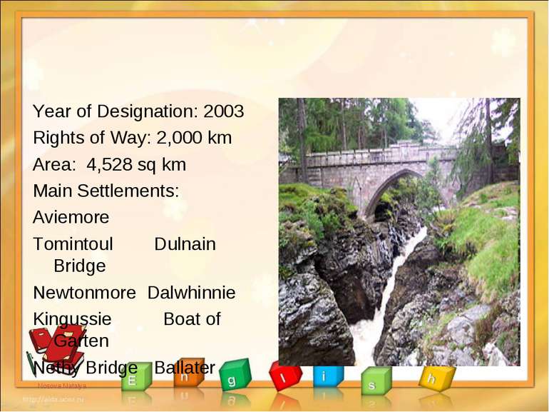
Year of Designation: 2003 Rights of Way: 2,000 km Area: 4,528 sq km Main Settlements: Aviemore Tomintoul Dulnain Bridge Newtonmore Dalwhinnie Kingussie Boat of Garten Nethy Bridge Ballater Nosova Natalya
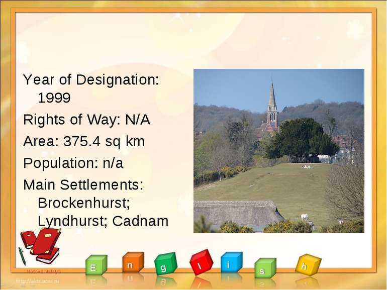
Year of Designation: 1999 Rights of Way: N/A Area: 375.4 sq km Population: n/a Main Settlements: Brockenhurst; Lyndhurst; Cadnam Nosova Natalya
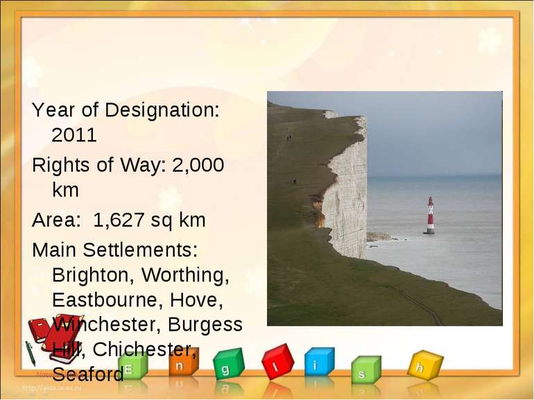
Year of Designation: 2011 Rights of Way: 2,000 km Area: 1,627 sq km Main Settlements: Brighton, Worthing, Eastbourne, Hove, Winchester, Burgess Hill, Chichester, Seaford Nosova Natalya
Схожі презентації
Категорії

