Презентація на тему:
The map of Great Britain
Завантажити презентацію
The map of Great Britain
Завантажити презентаціюПрезентація по слайдам:
The map of Great Britain There are four countries in United Kingdom of Great Britain: England, Scotland, Wales and Northern Ireland. This countries are colored in different colors. The capital of England is London, the capital of Scotland is Edinburgh, the capital of Wales is Cardiff and the capital of Northern Ireland is Belfast.
Here we can find some information about countries and their people England - 50,431,700 people. The country divides into regions. Scotland - 5,094,800 people. The country divides into council areas. Wales - 2,958,600 people. The country divides into unitary authorities. Northern Ireland - 1,724,400 people. The country divides into counties.
London It is how it looks from space . London is situated upon both banks of the Thames. There are 17 bridges across the river
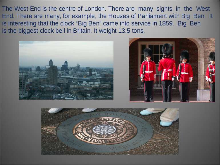
The West End is the centre of London. There are many sights in the West End. There are many, for example, the Houses of Parliament with Big Ben. It is interesting that the clock “Big Ben” came into service in 1859. Big Ben is the biggest clock bell in Britain. It weight 13.5 tons.
Схожі презентації
Категорії


